Hiking in Benediktbeuern
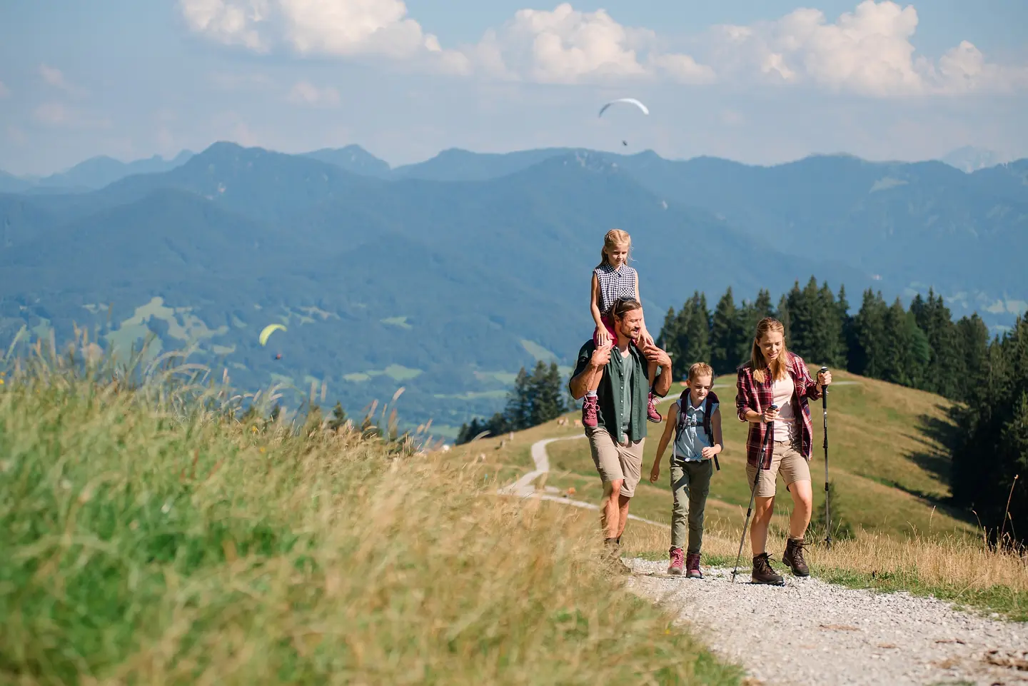
Around Benediktbeuern you will find lots of hiking possibilities starting from easy walks for families up to ambitious mountain tours for the experienced. For example:
Around the monastery
Distance: ca. 2 km, duration: ca. 30 min., plain path, only little shadow.
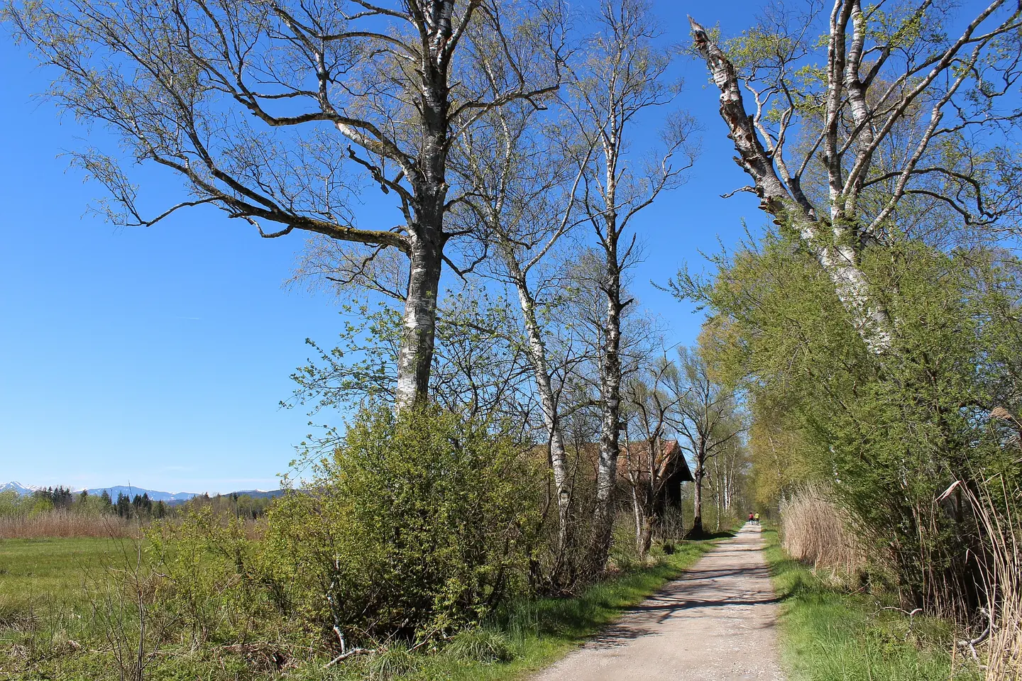
Follow the Spatzenpointweg next to the railway track at the eastern side of the monastery. At the end of the monastery wall turn right towards the moor. Shortly after a junction turn right and follow the small path into the biotopes. At the exit turn right and walk back to the monastery.
GPS download and map
Moor tour 2
Distance: ca. 6 km, duration: ca. 1 ½ hrs., plain path, only little shadow.
At the monastery parking site follow the green signs "Moosrundweg 2" in western direction towards the moor. Pass the biotopes and at the next junction turn left which guides you western direction first, then in southern and later in eastern direction. At the end of the gravel path turn right and walk along the monastery wall. Arriving the the train track turn left and you will reach the starting point.
GPS download and map
Moor tour 1
Distance: ca. 10 km, duration: ca. 2 ½ - 3 hrs., plain path, only little shadow.
At the monastery parking site follow the green signs "Moosrundweg 1" in western direction towards the moor. Pass the biotopes and at the next junction turn right. At the bird watching station "Moosmühle" turn right, and after 200 m turn left and walk down the moor. After you have reached the river Loisach turn left and follow the small path (attention: using this path is at own risk) till you reach the bridge of the Lainbach. Turn left and you will already see the steeples of the Basilica. After 2,5 km you will reach the next junction. Follow the left way along the railway track to reach the monastery.
GPS download and map
Roundtrip Benediktbeuern - Kochel
Distance: ca. 16 km, duration: ca. 4 – 4 ½ hrs., at the beginning small climbs and shady, later only few shadow.
At the western end of the swimming center "Alpenwarmbad" take the small path passing the diving platforms to reach the farm houses at Pfisterberg. Turn left and follow the hiking trail towards Kochel across the forest. Cross the greenfield at the Ötz ski lift and follow the forest path. You reach the view point Kohlleite where you have a fantastic panoramic view along the lake. Following the downhill path you reach the village center of Kochel. Pass the "Schmied von Kochel"-monument, walk along the left side of the Hotel Post and stay at the little road "Hanersimmergasse" which turns into a walkway. As you reach the lakeside turn right, cross the road "Schlehdorfer Straße" and follow the small path along the river Loisach. At the junction turn left and follow the river. At the next junction turn left again. A few hundred meters later cross the bridge and walk in eastern direction back to Benediktbeuern.
GPS download and map
Mt. Benediktenwand (1801 m)
Start: Alpenwarmbad, duration one way: ca. 4 – 4 ½ hrs.
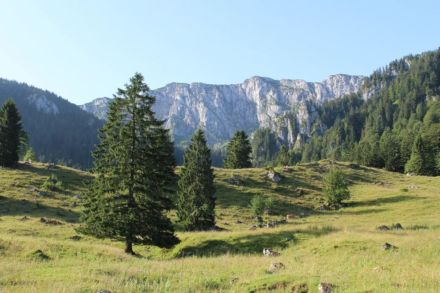
At Alpenwarmbad swimming center please follow the forest road AV 455 along the forest nature trail up to Kohlstatt hut (not operated). Shortly further leave the forest road at the left side and cross the valley of the Schmiedlaine stream till you reach the Eibelsfleck alp (not operated). After crossing the mountain pasture you will arrive at the serpentines. Walk up this winding path. At the end you will find the Tutzinger Hütte (operated in summer, restaurant and accommodation). Behind the hut the path turns into the eastern and the western climb. For the steep eastern climb you need alpine experience and you should be free from giddiness. The western climb is easier to walk. At the peak you will enjoy a fantastic panoramic view. For the descent it is advisable to take the easier western route.
GPS download and map
Way of St. James
The Way of St James along the rivers Isar – Loisach – Leutascher Ache – Inn starts at Schäftlarn monastery south of Munich. It passes Benediktbeuern and turns southwards to Austria. It ends after 125 km at the pilgrimage church Maria Locherboden in Mötz/Tyrol where it meets with the Tyorlean Way of St. James.
Further information: www.auf-dem-jakobsweg.info
Cable cars around Benediktbeuern
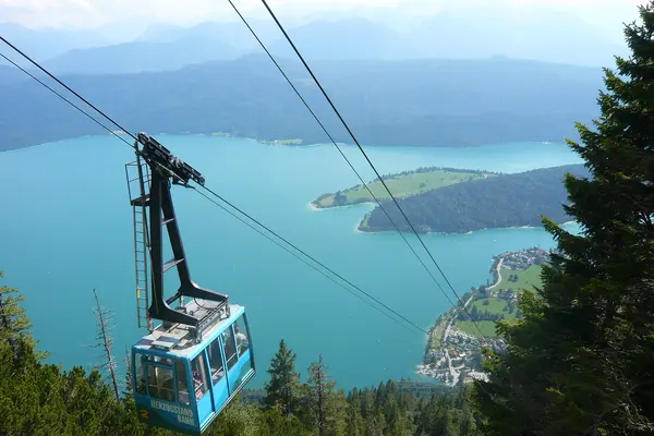
Herzogstandbahn at Walchensee, phone +49 8858 236
Brauneckbergbahn at Lenggries, phone +49 8042 503940
Blombergbahn near Bad Tölz, phone +49 8041 3726
Wallbergbahn at Tegernsee, phone +49 8022 705370
Karwendelbahn, phone +49 8823 9376760 and Kranzbergsessellift at Mittenwald
Zugspitzbahn, phone +49 8821 7970, Alpspitzbahn, Kreuzeckbahn u.v.m. in Garmisch-Partenkirchen
Nearby mountain huts
Tutzinger Hütte (Benediktenwand), 1327 m:
- opened from end of April till end of October, Christmas season and Eastern
- no day of rest, accommodation possible (reservation advisable!)
- phone +49 175 1641690, www.tutzinger-huette.de
Herzogstandhaus (Herzogstand), 1575 m:
- opened all year long, closed during revision works of the cable car
- 01.05.-15.11.: day of rest: Monday, Tuesday
- Winter: opened Friday till Sunday
- accommodation possible (reservation necessary!)
- phone +8851 234, www.berggasthaus-herzogstand.de
Heimgartenhütte (Heimgarten), 1785 m:
- opened from mid May till mid October
- no day of rest
- phone +49 171 9507787, www.heimgartenhuette.de
Jocher Alm (Jochberg), 1382 m:
- opened from end of May till mid October
- day of rest: Monday
- phone +49 8851 254
Staffelalm (Rabenkopf), 1320 m:
- opened from end of May till mid October
- day of rest: Monday
- phone +8043 373, www.langerbauer-walchensee.de
Orterer Alm (Rabenkopf), 1085 m:
- opened from May till October from Fridays till Sundays
- phone +49 177 3031018
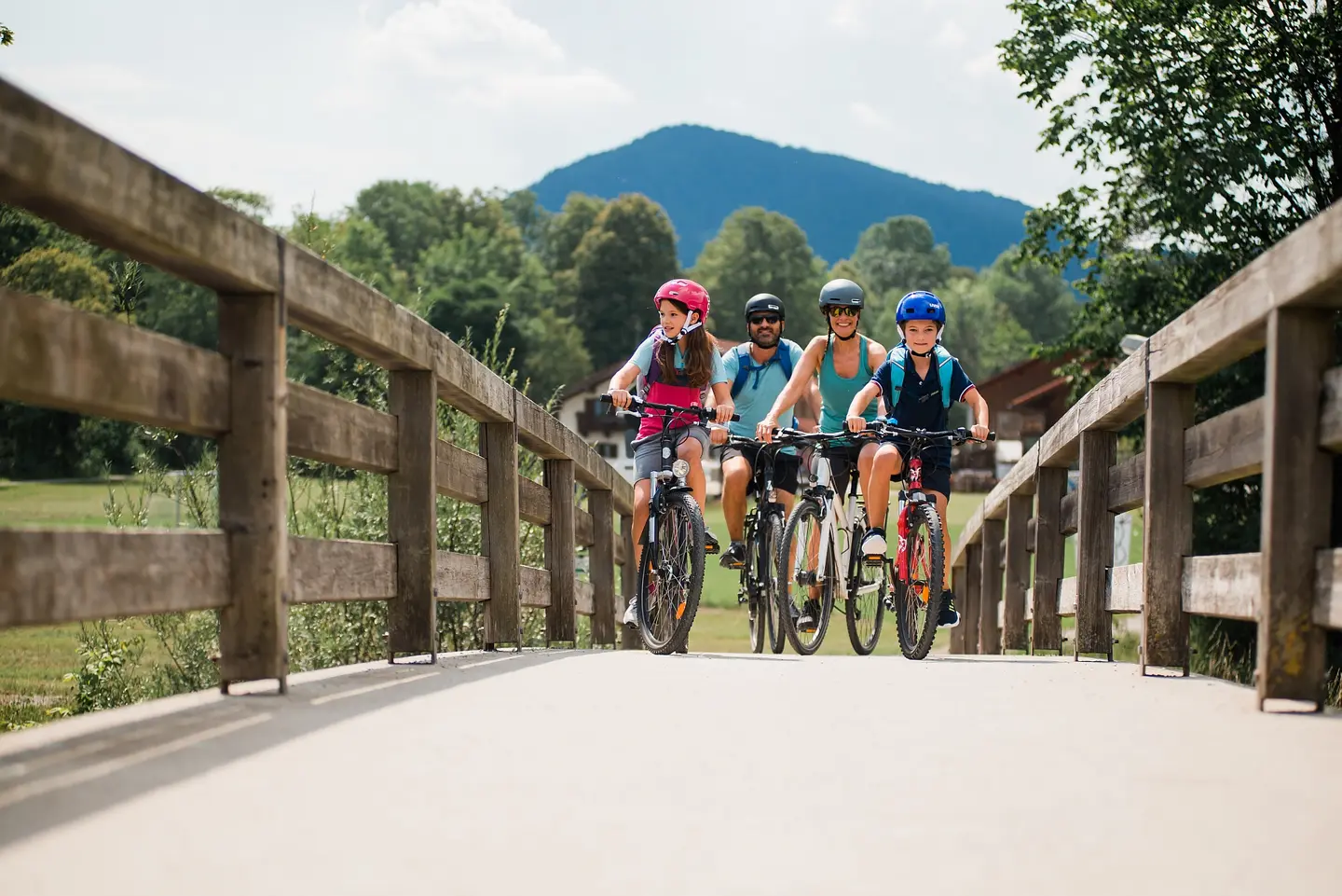
Bicycle roundtrips starting in Benediktbeuern
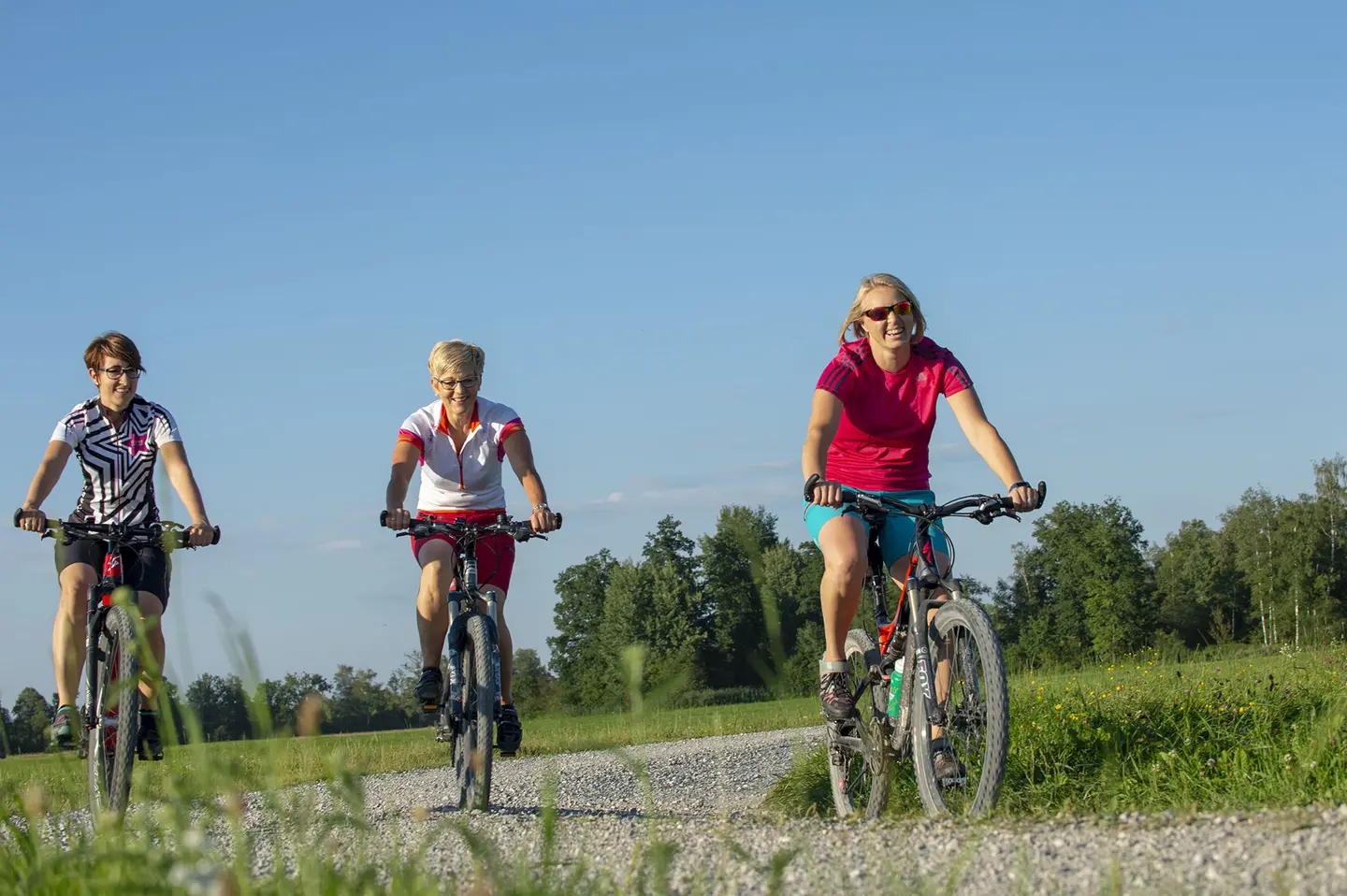
- Easy roundtrip to Kochel and Eichsee, ca. 23 km: GPS download and map
- Buchberg circle, ca. 28 km: GPS download and map
- With MTB to Bad Heilbrunn, ca. 30 km: GPS download and map
- To Bad Tölz, ca. 32 km: GPS download and map
- Moor and swimming pound circle, ca. 34 km: GPS download and map
- Nice views, ca. 37 km: GPS download and maps
- Riegsee circle, ca. 42 km: GPS download and map
- Osterseen circle, ca. 45 km: GPS download and map
- Murnau circle, ca. 51 km: GPS download and map
- MTB: Arzbach circle, ca. 34 km: GPS download and map
By the way:
Benediktbeuern is en route of Bodensee-Königssee-biketour which streches across 410 km from Lindau to Schönau along the foothills of the Alps.
Alpenwarmbad Benediktbeuern
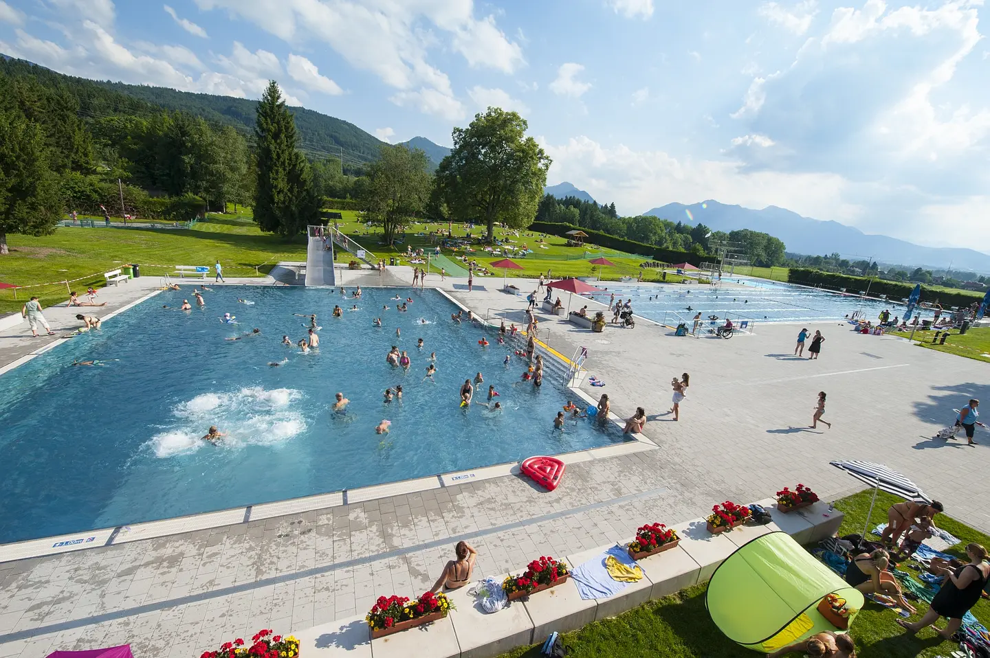
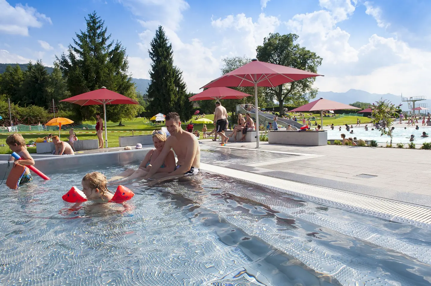
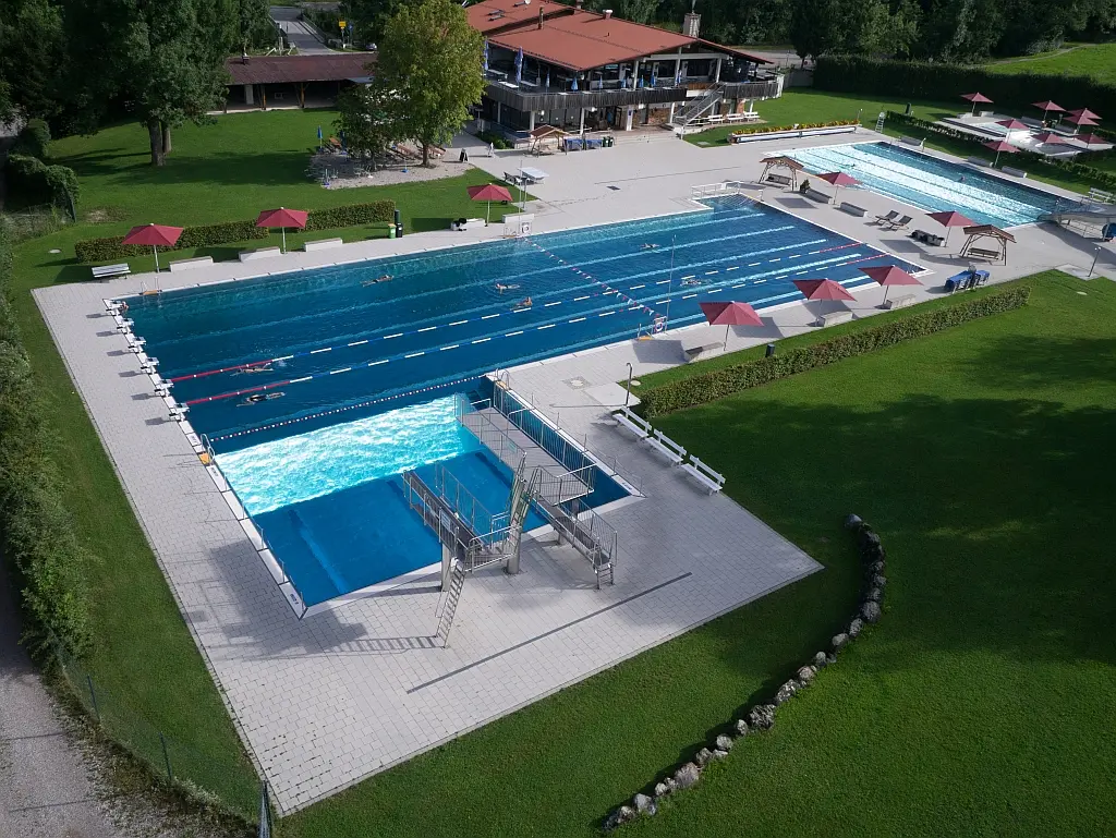
The open air swimming center Alpenwarmbad offers
• a heated pool with water chute
• a 50m sports pool with 1-, 3- and 5m diving platforms
• a big baby pool with mini chute
• handicapped-friendly entrance area, sanitary facilities an access to the pools
• a wide lawn for sunbathing with new playground
• sundbed rental
• kiosk and restaurant Einkehr zum Alpenwarmbad
opened from May till September
Mon - Fri from 12:00 till 19:00,
Sat/Sun/Bavarian school holidays from 10:00 till 19:00
(subject to change due to weather conditions)
Alpenwarmbad
Schwimmbadstr. 32
83671 Benediktbeuern
GERMANY
phone +49 8857 9625
info@alpenwarmbad.de
